


- Try the 2.5 mile Bear Creek Trail, one of Telluride's most popular doggy friendly hiking paths.
- 4 miles one-way, the trail to Bridal Veil Falls is a must for any visitor.
- Sneffels Highline Trail is a great all day hike: 14 miles round trip.
Overview
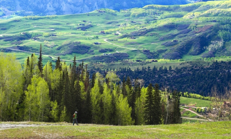
Chances are you can find the type of trail you’re looking for in Telluride. Trails leave town in every direction and there is a wide variety of terrain, making it easy to find a hike to suit your needs. The scenery is always outstanding in Telluride, but most trails pass a waterfall, lake or river, and all reach spectacular scenic overlooks.
Bear Creek Trail
This is one of the most popular Telluride hiking trails for people and their pups. The trail is wide, the grade is mild and there’s a dazzling waterfall to cap it off.
Trailhead: Starts at the south end of Pine Street.
- Distance: 2.5 miles one way.
- Elevation Gain: 1,050 feet.
- Difficulty: Easy
- Trail Type: Out and back.
Bridal Veil Falls
This hike follows a four-wheel road up to North America’s highest waterfall.
Trailhead: Follow the River Trail east out of town or drive east on Colorado Avenue to the parking lot near the old Pandora Mill.
- Distance: 4 miles one way.
- Elevation Gain: 1,650 feet.
- Difficulty: Moderate
- Trail Type: Out and back.
Sneffels Highline
The Sneffels Highline trail traverses every kind of terrain in Telluride hikes: thick Aspen groves, tall Pine Trees, high-alpine tundra and rocky ridgelines running up to 14,000 feet. It is a must-do for avid hikers, especially when the wildflowers are in full spring bloom.
Trailhead: Start on the Jud Weibe trail from north Aspen Street and go left at the Mill Creek sign after .5 miles. Look for the Sneffels Highline sign on the right.
- Distance: 1 4 miles roundtrip.
- Elevation Gain: 3,520 feet.
- Difficulty: Challenging
- Trail Type: Loop
Jed Wiebe Trail
The Jed Wiebe trail traverses the north hills of Telluride, and has great views of town, the ski area, Bear Creek and the Wilson Range. It begins with a steep climb but mellows out into wide meadows and shady forest. A staple of Telluride hiking.
Trailhead: The trailhead starts at the north end of Aspen Street.
- Distance: 3 miles roundtrip.
- Elevation Gain: 1,140 feet.
- Difficulty: Moderate
- Trail Type: Loop
Silver Lake
Staring at Silver Lake is like looking at the perfect mountain lake you never thought existed. The water changes from teal green to clear blue by the minute, and trout bite nonstop. Add a backdrop of 14,000 foot peaks and it really is a fantasy land up here. The hike is steep and challenging but rewarding. Start early to avoid bad weather.
Trailhead: The trail starts above Bridal Veil Falls.
- Distance: 1.6 miles from Bridal Veil Falls.
- Elevation Gain: 1,668 feet.
- Difficulty: Challenging
- Trail Type: Out and back
